Skip to the main content.


Quantifying Earthwork
Solve earthwork challenges with cut/fill analysis, lot viewer, stormwater reports and more.
Stormwater Drainage Reports
Spot drainage and slope risks across the site in minutes with Stormwater Reports
Lot Grade Verification
Verify elevations across every lot in minutes with Lot Viewer.
360° Interior Scanning
Track progress and catch problems early with TraceWalk 360° interior scanning.
About TraceAir
The #1 provider of site intelligence and analysis solutions for homebuilders and land developers.
Referral programs
Refer your peers to TraceAir and receive a $250 bonus for each project.
Pilot? Fly for us.
We continually seek reliable drone operators to partner with as flight mission contractors.
Get in touch
Get in touch for media relations, partnership or investment inquiries, and more.

Customer Stories
Proven solutions for every build phase—see how we solve real builder challenges.
Webinars
Join us for industry best practices and industry leading guest speakers.
Blog
Stay tuned about our latest news, industry insights, and product updates.
FAQs
Find answers to our most frequently asked questions.
Help center
Learn how to use TraceAir and get help fast - when you need it.


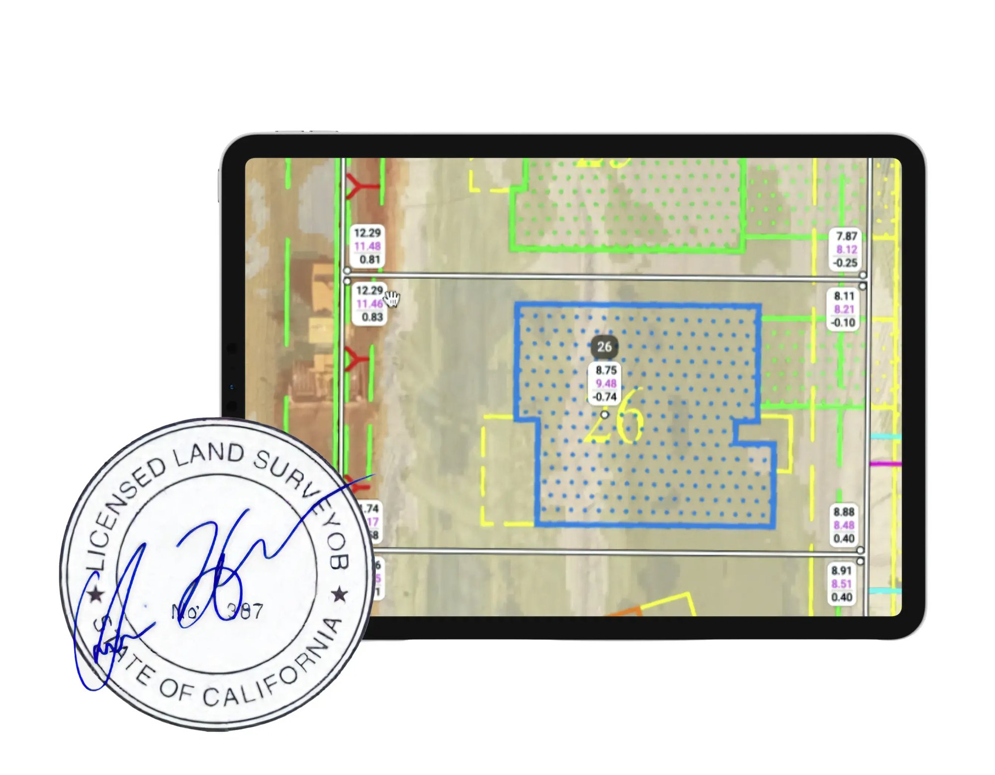
Pad/Lot Certification
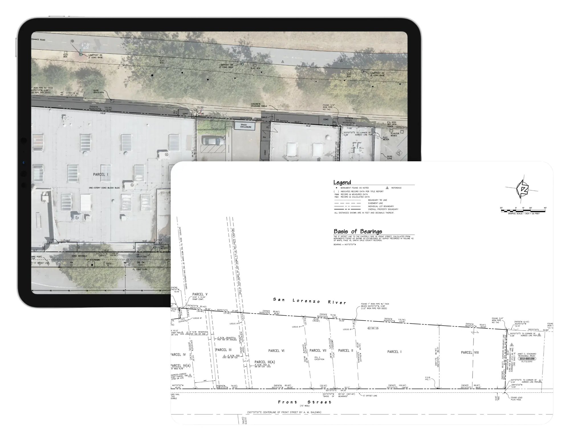
ATLA Surveys
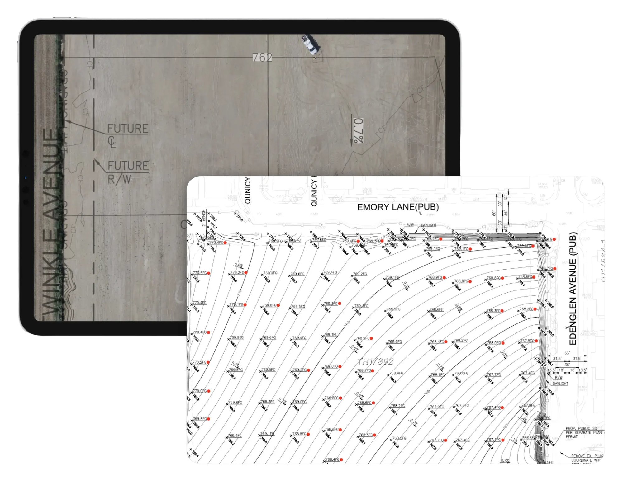
Final Line & Grade Certification
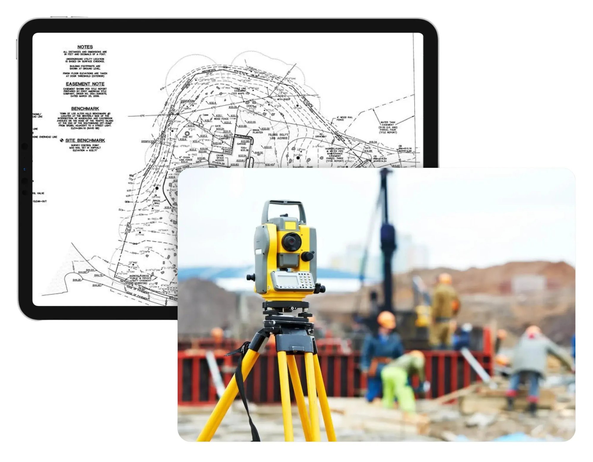
Topographic Surveys
LiDAR Scans
Title Goes Here
Title Goes Here
Title Goes Here
Title Goes Here

© 2026 TraceAir Surveying Inc.